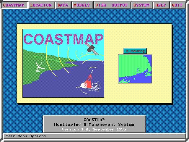
COASTMAP : An environmental monitoring and management system
Other site : ASA
![]()
Project summary :
COASTMAP is an integrated system for marine and freshwater environmental monitoring, modeling and management. It provides the user with an easy-to-use capability to manage environmental data and process models in a geographical context. COASTMAP can be customized to reflect the data processing and modeling needs of the user. Its purpose is to provide the user with software tools to perform technical analyses on environmental data.
COASTMAP combines a (PC-based) Geographic Information System (GIS) interface, with data analysis and modeling tools.Tools are available to import/export data from/to other GISs (ARC/INFO, AUTOCAD, GeoSQL, GRASS) and existing data bases on other networked PCs or with a central data management and archive facility via communications links such as the INTERNET.
COASTMAP contains a suite of capabilities providing analysis and display tools at the user (local PC) level. Statistical parameters, time series analysis (power spectra) and correlation (auto and cross) are analysis tools available in the system. Processing options are specified through pop up windows. Data display of single and multiple variables (time series and frequency domain products) are user selectable for any data set in the database.
COASTMAP has been designed to provide a general linkage to process models.
Such models can include land use or non point source loading models, water
quality models to estimate indicator levels and hydrodynamic models to
estimate water level and currents. A model in this context can be thought
of as an interpolator or extrapolator of known data, perhaps from a real
time or archived database. Thus using data from a single point can be expanded
to provide hindcasts, nowcasts or forecasts of conditions at other locations
and times.
Funding history :
Key personnel at URI and collaborations :
Publications :
![]()
Back to Ocean Engineering Home Page